Restaurants & cafés
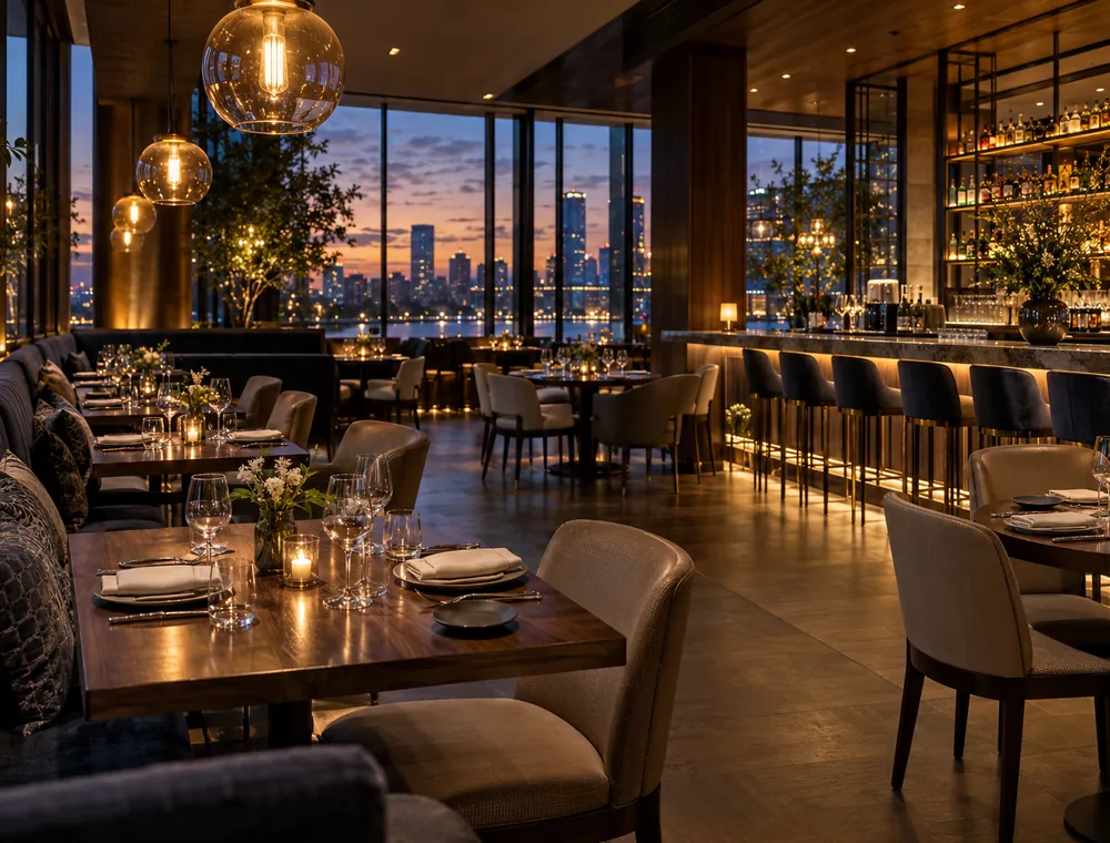
Publish the dining room, the terrace and the bar. Diners see the atmosphere and the table layout before booking.
People check Google before they visit. VirtualTourEasy publishes your 360° photos to Google Maps and Street View straight from your tour, at the exact spot you choose — and gives you the full interactive tour, with hotspots and your branding, for your own website.
The whole flow happens in VirtualTourEasy — no separate Google upload tool, no file juggling.
Use a 360° camera on a tripod, one photo per spot. Google asks for at least 7.5 MP (3,840 × 1,920 px), a 2:1 aspect ratio and no more than 75 MB per photo.
Upload the photos as scenes, link them with navigation hotspots and set the starting view of each one.
In the builder, open a scene’s settings, search for the address or enter latitude and longitude, and set the heading — the compass direction the camera faces.
Under Settings → Integrations, connect the Google account you want to publish with. The photos appear under that account’s Google Maps contributions.
In the Google Street View section of your tour, click Publish on each located scene. The status moves from uploading to processing to published, then a “View on Google Maps” link appears.
Google shows your photos; your website shows the whole experience. Embed the tour with one line of code and use its short link everywhere else.
Each published scene becomes a 360° photo on Google Maps at the position you set. People can open it and look around in every direction, on a phone or a computer, before they decide to visit.
If customers choose you on Google Maps, a look inside answers the question a photo grid can’t: what is it like to be there?
Publish the dining room, the terrace and the bar. Diners see the atmosphere and the table layout before booking.
The entrance and public areas on Google Maps; the rooms, spa and views in the full tour on your booking site.
Show the equipment floor, the studios and the changing rooms — the things new members want to check before signing up.
Let shoppers see the range and the layout from home. Pair it with a virtual showroom on your site.
Ceremony rooms, halls and terraces at their exact spot on the map. See venue tours.
A calm, clean reception and treatment rooms reassure first-time visitors before they walk in.
Google publishes these requirements for 360° photos (photo spheres) on Maps, as of October 2026 — see Google’s help page:
Google also recommends spacing connected indoor photos about 1 m (3 ft) apart and outdoor photos about 3 m (10 ft) apart, with a clear line of sight between them. If you want Google to build a walkable path through your space, shoot more, closer spots for Google than you would for a website tour.
Google’s contribution policy asks for media created at the location you post to, and to avoid “heavily edited or otherwise manipulated photos” (Google Maps user-contributed content policy). So publish only 360° photos you actually shot on site.
| On Google Maps | On your website | |
|---|---|---|
| What visitors see | Individual 360° photos at their location | The complete tour, scene by scene, in your order |
| Hotspots & info panels | No | Yes — info, links, navigation |
| Contact or booking | Through your Business Profile | In-tour inquiry form and booking links |
| Branding | Google’s viewer | Your logo and colors, or fully white label |
| Audio, floor plan, AI video | No | Yes |
| Who finds it | People searching and browsing Google Maps | Your site visitors, social, email, listings |
The two work best together: Google brings people in, your tour converts them.
After you click Publish, VirtualTourEasy uploads the photo and tracks its status for you. Processing is on Google’s side and often completes within hours, but Google asks contributors to allow up to four days. You can check the status from your tour page at any time and remove a published scene from Street View in one click.
Google doesn’t charge you to contribute photos to Maps. On VirtualTourEasy, Google Street View publishing is included in the Professional ($59/month, or $48 billed yearly) and Business ($199/month, or $160 billed yearly) plans. You can build and embed the tour itself on any plan, including Free, and upgrade when you are ready to publish to Google. All plans are on the pricing page.
Google Maps is built around places people can visit, so it suits businesses more than individual homes for sale. Check Google’s policies before publishing a private property — for listings, your tour’s short link and an MLS-friendly unbranded link are usually the better channel.
Build your tour free today; publish to Google Maps when you upgrade to Professional.